Offshore staff
ASKER, Norway – TGS and PGS expect to start their latest seismic survey offshore eastern Canada in late July.
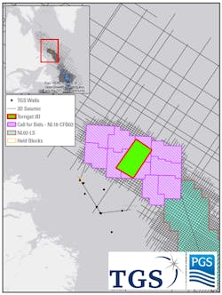
The Torngat 3D multi-client program will cover around 3,287 sq km (1,269 sq mi) and will include some of the open acreage to be offered under the Labrador South November 2021 bid round.
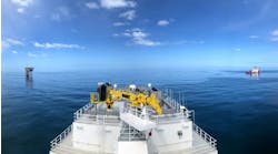
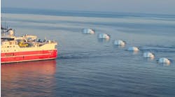
PGS’ Ramform Titan will perform acquisition, using GeoStreamer technology.
The focus of the survey is the Labrador Sea’s southern sedimentary basins where frontier exploration has already identified hydrocarbons, as in the nearby offshore gas discoveries Hopedale (Chevron, 1978) and Snorri. But this will be the first 3D seismic survey ever acquired offshore Labrador.
Following this ninth consecutive season of data acquisition off eastern Canada, the two companies’ jointly-owned library will have more than 189,000 km (117,439 mi) of 2D GeoStreamer data and around 52,000 sq km (20,077 sq mi) of 3D GeoStreamer data.
Kristian Johansen, CEO of TGS, said: “The Torngat 3D survey will be instrumental in assessing several amplitude variations supported leads that were initially evaluated with our comprehensive 2D library in this region.
“Our combined seismic, well log and interpretation datasets provide the industry with invaluable subsurface insight. This is critical to help identify potential source rocks, structural and stratigraphic traps and reservoirs, allowing our clients to de-risk their exploration activities and prepare them for upcoming licensing rounds.”
05/20/2019


