USV proves multi-sensor capability in shallow-water UXO survey
Editor's note: This article first appeared in the 2024 Remote Inspections & Operations Special Report, which published within the January/February 2024 issue of Offshore magazine.
By Andy Doggett, Sulmara
When it comes to shallow-water surveys using uncrewed and remote technologies, the modern remote survey industry is making significant waves.
The work is inherently challenging for any vessel, and uncrewed and remote operations have faced additional challenges in the past, with towing multiple sensors being problematic. However, a recent project by subsea inspection specialist Sulmara is challenging conventional industry practices and encouraging new ways of thinking in remote inspections and operations.
The company completed a successful unexploded ordnance (UXO) and multibeam survey (MBES) of Ardersier Port, on the shores of the Inner Moray Firth, Scotland, for Haventus Ltd. To help service future wind farm projects under the UK’s ScotWind program, the port is undergoing significant regeneration, including construction and dredging. The survey was required to identify potential UXO targets and collect detailed bathymetry in water depths ranging from 1 to 10 m.
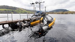
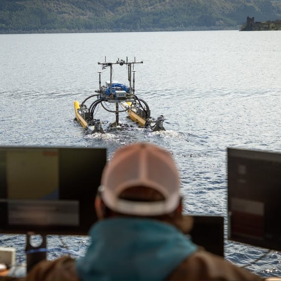
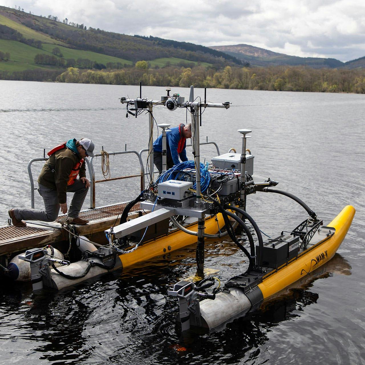
The system was extensively and successfully trialed and de-risked in nearby Loch Ness before being commissioned for the Ardersier survey. The survey was executed using an advanced uncrewed surface vessel (USV), WAMV-16, which was equipped with a high-resolution NORBIT Subsea MBES system to acquire the bathymetric data, ensure safe towing operations and generate accurate seafloor mapping and charting. The USV is specifically designed for use in the near-shore environment. The Norbit MBES system had a wide coverage angle, enabling efficient data acquisition in shallow water.
In partnership with SafeLane Global, an expert on UXO clearance and risk management, the WAMV-16 towed two SafeLane G882 magnetometers. These instruments detected magnetic anomalies associated with submerged UXOs, aiding in target identification and classification.
The USV surveyed the port’s challenging waters with 4-m line spacing for optimum coverage (about 450,000 sq m), employing precise waypoint navigation to ensure a complete survey of the area. The UXO detection systems measured and recorded magnetic field variations, which were co-recorded with the multibeam to match potential UXO signatures with corresponding seafloor features. The data were monitored remotely in near-real time.
Continuous monitoring of the USV's onboard control system ensured safe navigation through constrained areas, including jetties, docks, submerged hazards, dredging equipment and other infrastructure.
Data collection, analysis
Utilizing an uncrewed asset enabled the field operational team to navigate a towed body through a challenging environment. It also gave the field ops team a better and safer vantage to assess hazards with a more maneuverable vehicle compared to a conventional vessel. Further to the navigational safety gains and the electronically and acoustically quiet nature of the operations, the USV’s more stable platform yielded much higher data quality than could be expected from a crewed vessel. The WAMV’s small size and high operability allowed the team to pre-empt and respond quickly to obstacles. Furthermore, it provided a low-carbon solution, generating zero CO2 emissions.
Data obtained from the survey underwent post-processing and analysis. The multibeam bathymetric data generated digital terrain models and seafloor contours. This information helped identify shallow areas, potential navigational hazards and areas requiring further investigation. Advanced algorithms and pattern recognition techniques were applied to differentiate between natural seabed features and potential UXO targets, ensuring accurate identification.
The magnetic field data collected by the UXO detection systems were processed and analyzed, enabling the identification of magnetic anomalies associated with potential UXOs. The data analysis integrated all available information, including bathymetric data and magnetic signatures, to generate a comprehensive report highlighting the location and classification of potential UXOs within Ardersier Port.
The WAMV survey outcomes include accurate bathymetric charts, high-resolution seafloor imagery, identification of multiple ferrous objects and potential UXOs, that will contribute to the port's safety and aid in future decision-making regarding UXO clearance, risk strategy and management.
Furthermore, it proved the successful capabilities and benefits of USVs in towing multiple sensors in shallow water areas.


