PGS analysis addresses imaging issues in North Sea Lille Prinsen area
Offshore staff
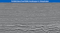
OSLO, Norway – PGS has made available full integrity PSDM data from its GeoStreamer X Viking Graben 2019 program in the Lille Prinsen area of the Norwegian North Sea.
The results have delivered improved subsurface resolution, the company claimed.
The Viking Graben area features multiple proven and partly stacked plays, encompassing Eocene Grid sands to Zechstein carbonates and fractured/weathered basement.
PGS has employed multi-azimuth illumination and broadband processing to address numerous imaging challenges in this part of the North Sea.
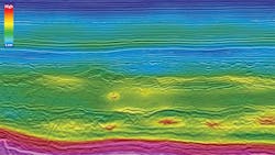
These range from shallow subsurface channels and glacial features, Tertiary low-velocity anomalies and high-velocity sand injectites to contaminations in the polygonal faulted Paleogene and beneath the high- impedance rugose chalk.
“This is the first step in our multi-azimuth upgrade of the Viking Graben area,” said Ruben Janssen, Business Development Europe at PGS.
“Fast-track data from the 2020 GeoStreamer X over Balder/Ringhorne [in the North Sea] will be ready this month.”
10/22/2020

